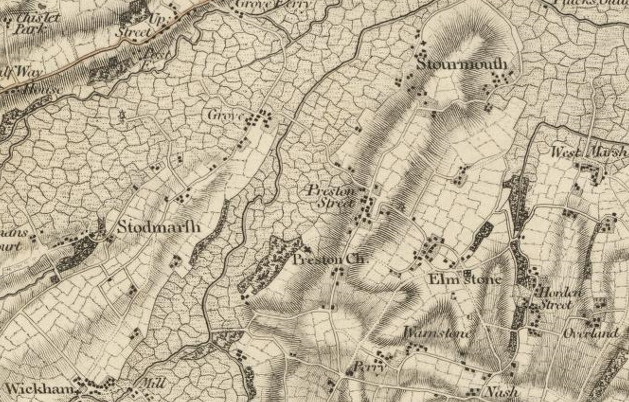
Preston, East Kent, is shown above on the Ordnance Surevy’s first published map of Kent in 1801, The County of Kent – map by William Mudge 1801, the first map published by the Ordnance Survey.
I think that the area covered by the Wantsum Channel is essentially the marshes that are indicated so clearly on this map. Searching for Kent’s Wantsum Channel on Historic OS Maps.
This leads to an understanding of Preston as a coastal settlement on the shore of a tidal inlet. Analysing the Environment Agency LiDAR data I have shaded the area at an elevation of less than 2.75 m.

It is interesting to note the Grove and Stodmarsh are on a spur of higher land that extends out into the Wantsum Channel at this location. The main creek up to Fordwich, and Canterbury is to the north of this spur. The Creek on the Preston side extends up to Wingham and Wickhambreaux.
Overlaying the water onto a current OSM gives the following.

The side roads, the Forstal and Court Lane both become bridleways or footpaths as they enter the marsh; they are no through roads. 600 years ago this would have been a creek.

The Church of St Mildred is well worth a visit. I understand it to be largely 13 th century, but built on a Saxon site. A Victorian renovation has added some interesting dorma-style windows.

It is worth reading up on the history of St Mildred, one one-time abbess in Minster, Mildrith – Wikipedia. The Kentish Royal Legend – Wikipedia seems to tell the various Game of Thrones type stories of the founders of these settlements in East Kent.
