Author: Jim Dickson
-
-
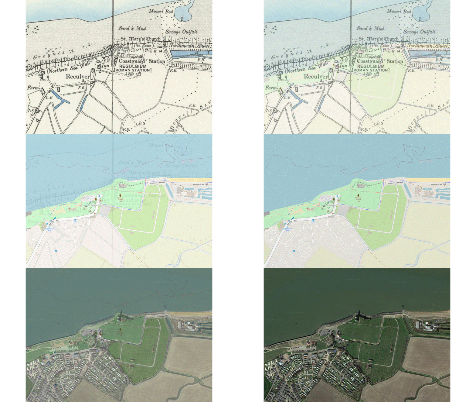
Reculver Towers, C G Harper drawing then and now study.
Features photographs and drawings of Reculver Towers, near Herne Bay, Kent, drawn from Historic England collections. The location is presented on OS maps from 1900s as well as current Open Street Maps and Googles satellite.
-
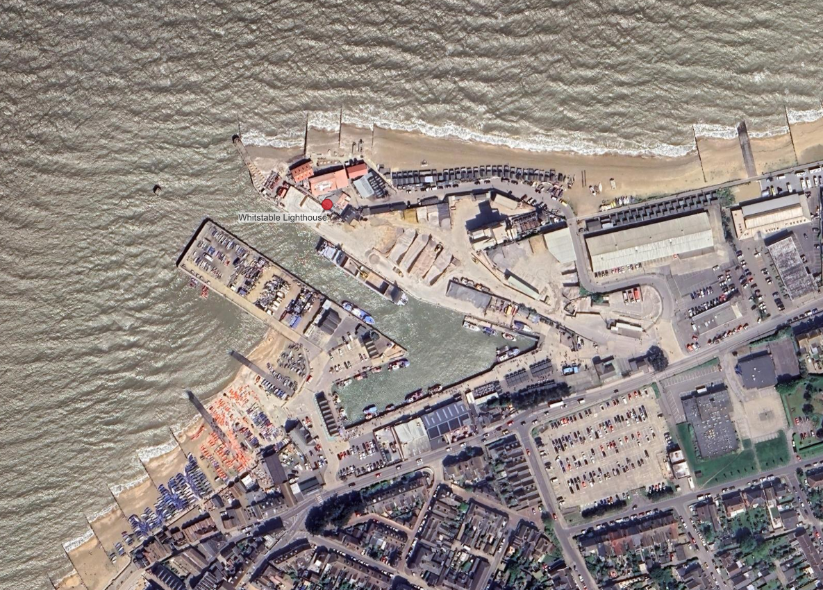
The Old Lighthouse, East Quay, Whitstable. C G Harper drawing then and now.
An examination of maps and photographs both current and historical, to find the location of the old Whitstable lighthouse as sketched by C G Harper on his bicycle tours in the 1900s.
-
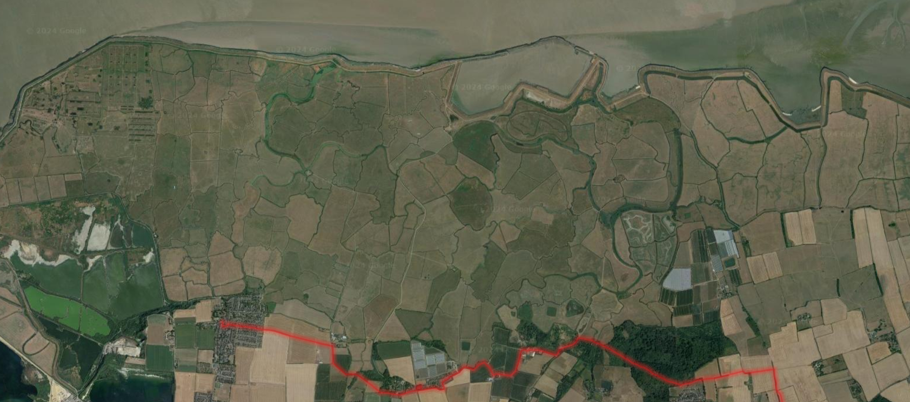
Saxon Shore Way – Cliffe to Hoo, the Dickens leg.
A walking route description, with images and maps, of the Saxon Shore Way between Cliffe and Hoo St Werburgh in Kent, UK.
-
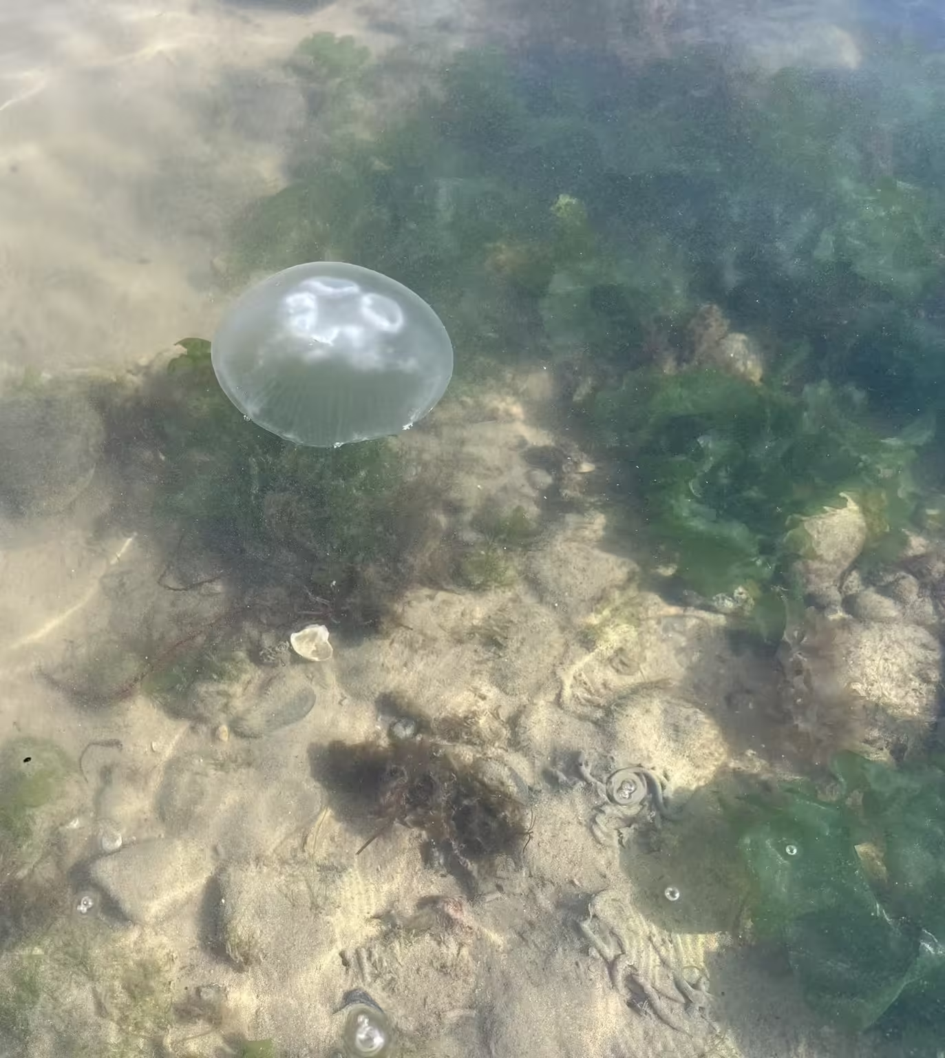
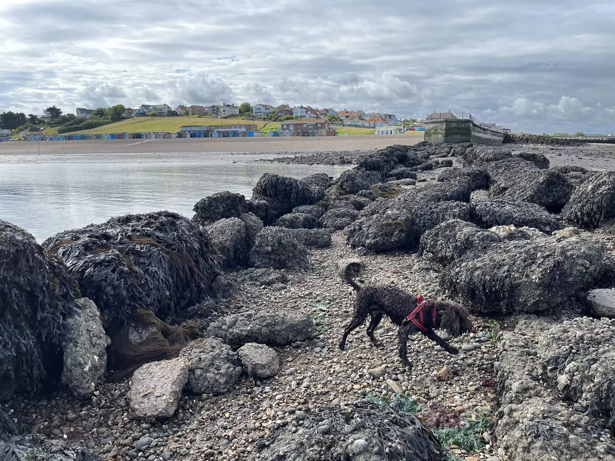
Low tide safari, Herne Bay.
Just photos of weed and jelly fish seen at low tide on west beach, Herne Bay.
-
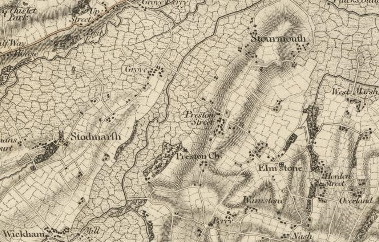
Preston in East Kent, a village on a tidal creek off the Wantsum Channel.
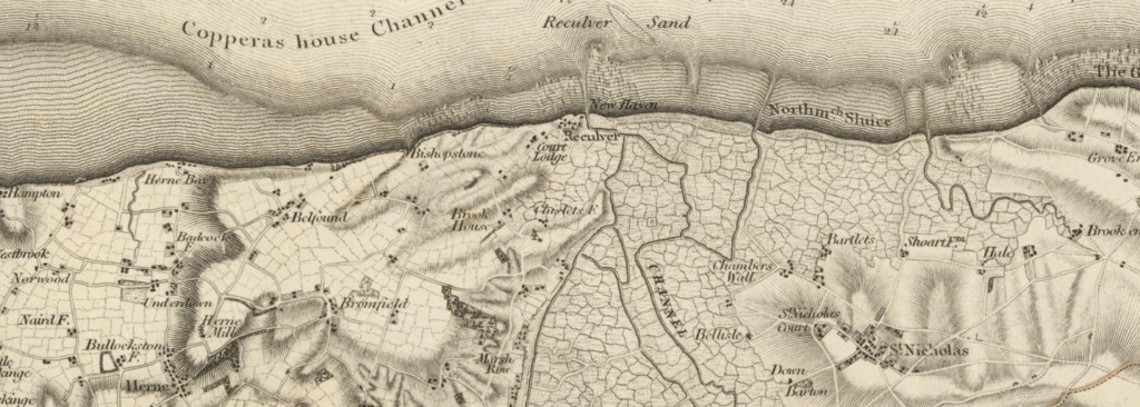
Preston, East Kent, is shown above on the Ordnance Surevy’s first published map of Kent in 1801, The County of Kent – map by William Mudge 1801, the first map published by the Ordnance Survey. I think that the area covered by the Wantsum Channel is essentially the marshes that are indicated so clearly on…
-
-
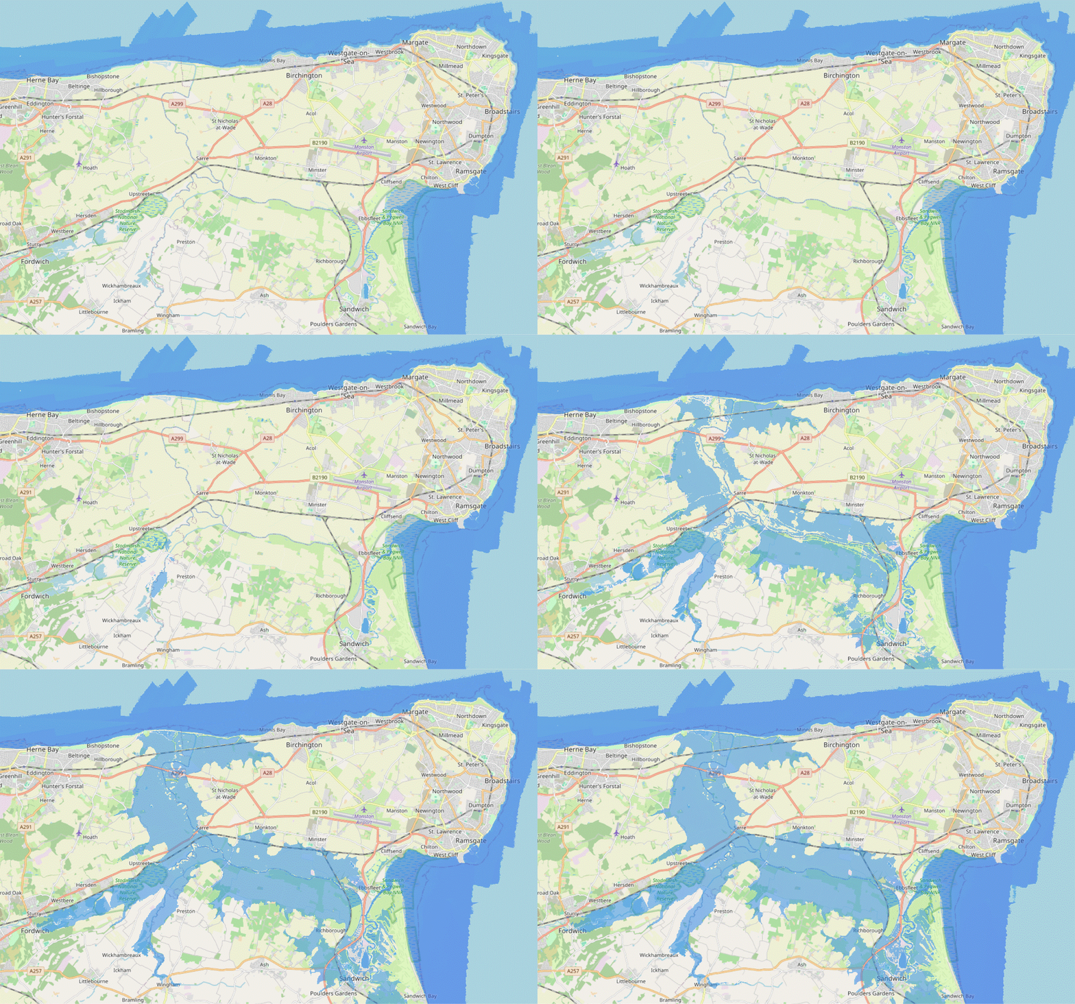
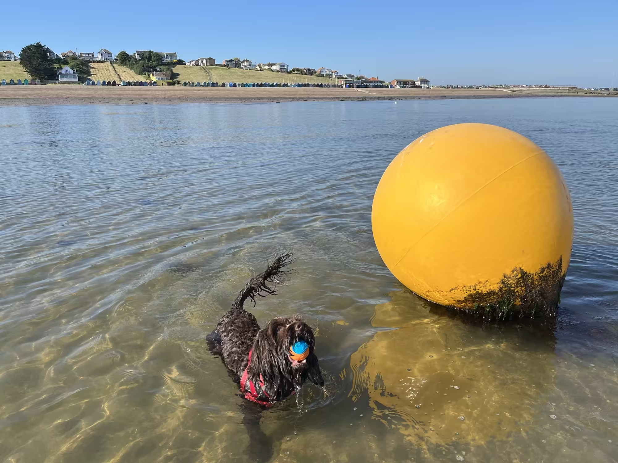
Flooding the Wantsum Channel on Open Street Map
This post presents and animation of how the Wantsum Channel would look on Open Street Map by shading different elevations of Environment Agency sourced LiDAR data. A conclusion of the post is to present a possible medieval East Kent Coastline based on an elevation of 2.75 m.
-

Between the huts and the sea wall, hollyhocks
A micro climate between the beach huts and the sea wall.
-
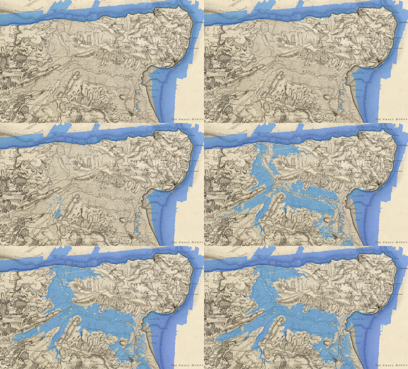
Flooding up the Wantsum Channel on Mudge’s Map
This post presents and animation of how the Wantsum Channel would look on Mudge’s 1801 map by shading different elevations of Environment Agency sourced LiDAR data. A conclusion of the post is to present a possible medieval East Kent Coastline based on an elevation of 2.75 m.
