The Wanstum Channel was the ancient waterway which separated the island of Thanet from Kent, in the southeastern corner of the UK. This waterway silted up around 1500 and has now been reduced to a drainage ditch in the north and the river Stour in the south. Marshland now covers where the channel used to exist.
Upon relocating to East Kent 20 years ago, I developed a passion for cycling. I soon found that the local roads and lanes did not form an even network across this part of the county. Some journeys forced the use of one or two, usually busy, routes across low, soggy land.
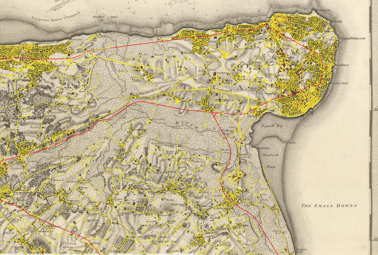
I have grown accustomed to the marshes surrounding the River Stour and the Wantsum Channel. Lately, I’ve been experimenting with QGIS and historical maps, and it’s remarkable how prominently the Wantsum Channel appears on them.
In this post, I will use two map sources: Mudge’s map of the county of Kent 1801, which I understand is the first Ordnance Survey (OS) map published and the OS map 1888-1913, now openly available.


On closer inspection, the drainage ditches and marsh infrastructure become readily apparent on both these maps. These features are not quite so obvious on many modern online maps.


The 100 or so years between these two sources have seen little change in the geographical extent of many villages and towns. The maps start to give a real feel of the coastal genesis of these settlements. It is difficult not to imagine what it might have looked and felt like in the ancient past. The Thames Estuary and smaller east coast river estuaries in Kent, Essex and East Anglia help the imagination develop a picture of tidal inlets feeding into an inland waterway. The Wantsum Channel and associated inlets still existed it would surely be a paradise for modern water leisure activities.
The features associated with the Wantsum Channel are not quite as obvious on the Open Maps online. However, some comfort can be provided to those worried about sea-level rises and flooding by seeing how modern infrastructure respects this geographic feature. I have created the following map by overlaying OS Open Zoomstack features on Mudge’s map. My georeferencing of Mudge is not precise, but at this level of zoom, it gives a useful impression.
