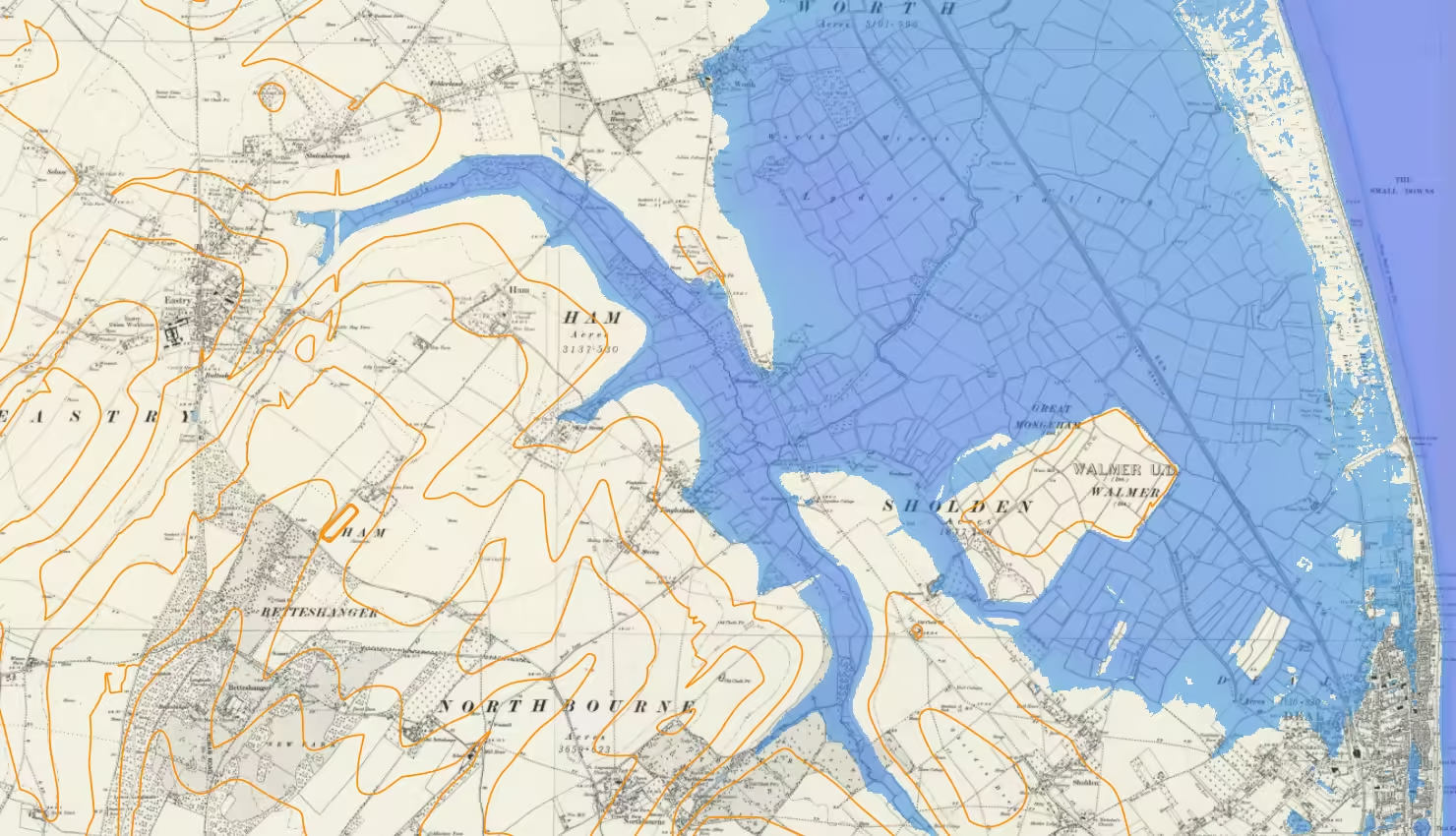
Ham’s Secret Water – Land Elevation Data and Historical Sea Levels near Eastry Kent
Ham’s Secret Water is an investigation into the historical coastline around Eastry and Ham in East Kent using open-source data and geographical information system, QGIS.
