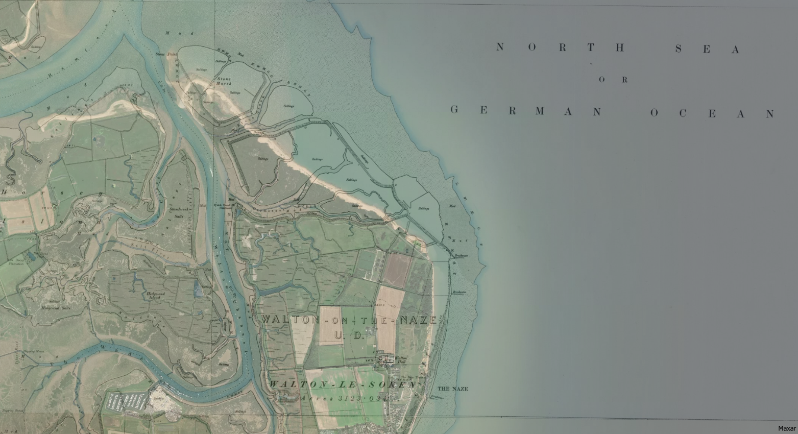
The map gives the coastline as published in the Ordnance Survey of 1888-1913. The transparent overlay of modern satellite imagery shows a clear difference in the shoreline over the last 100 years or so.

The end of the Naze is a relatively isolated, beautiful, windswept place.
