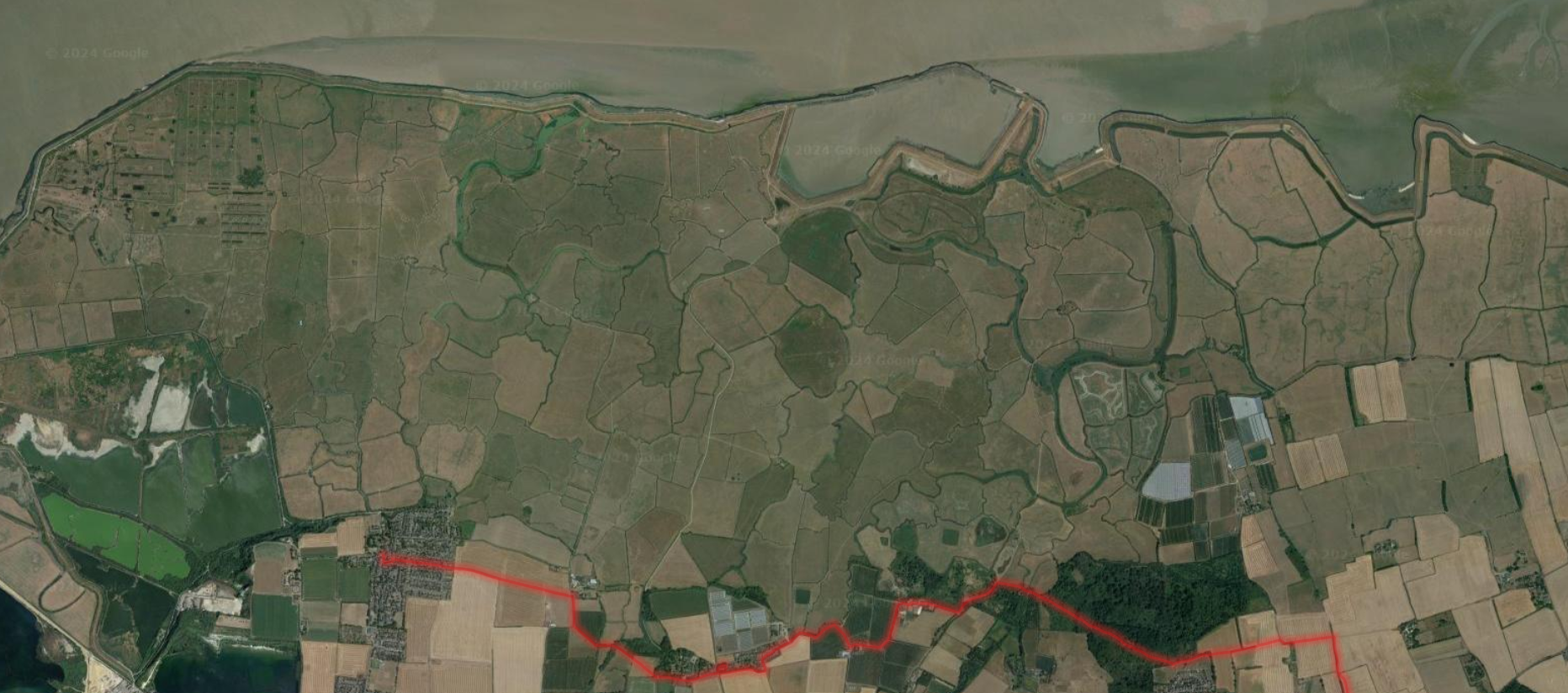
Rainbow spotting on north Kent coast, 24 Nov 25
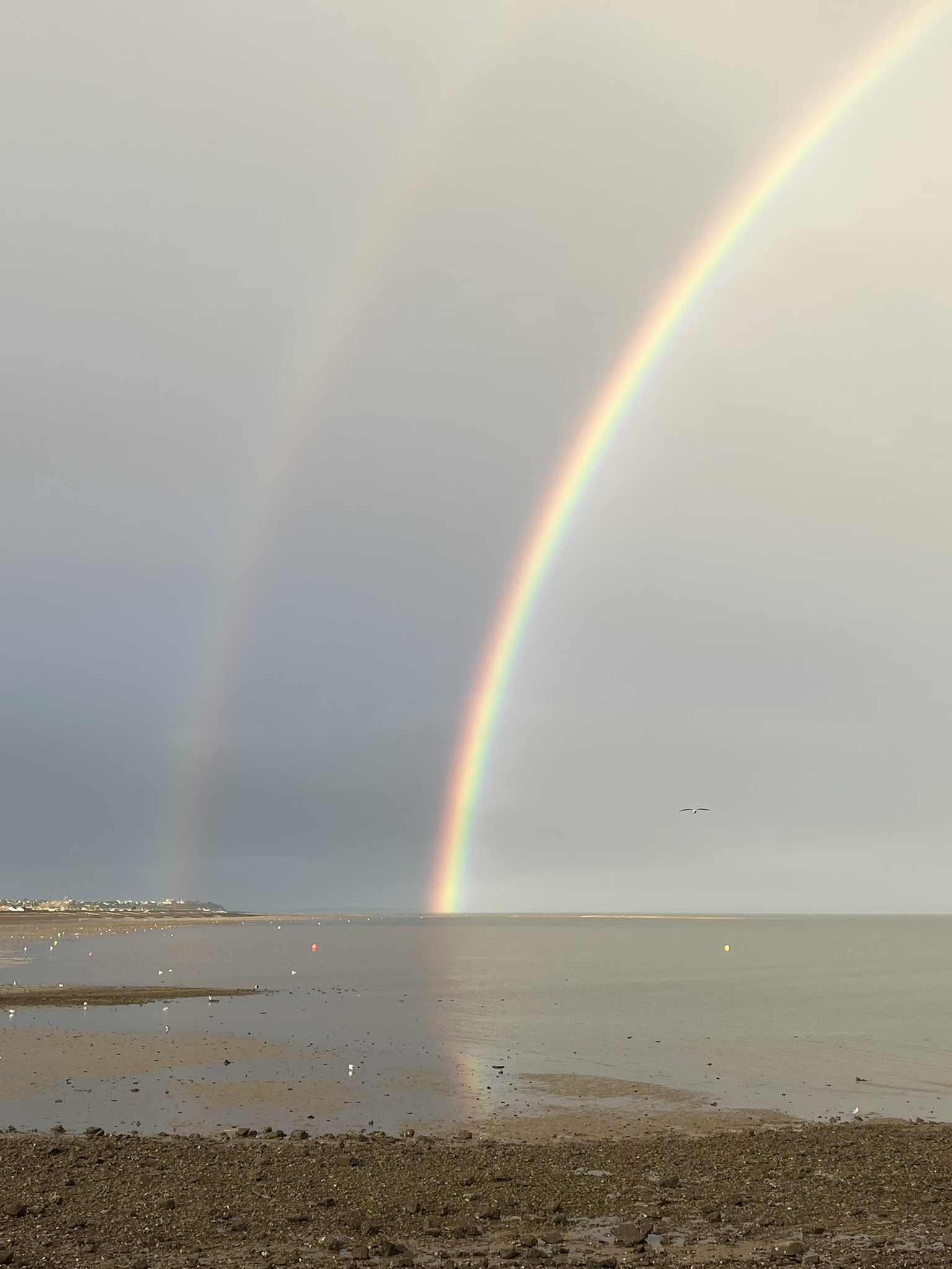
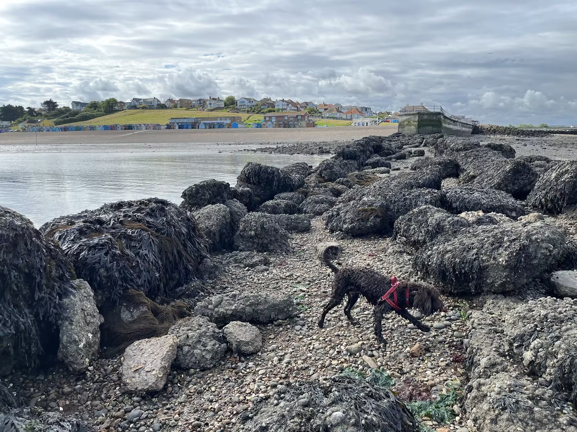
A rainbow over the Swale Estuary viewed from Hampton Pier, Herne Bay in Kent. The post presents photographs and gives a brief outline of the science behind rainbows and double rainbows concluding with a description of the best place to view such an event.