The lighthouse at Whitstable was the subject of a sketch drawn by C G Harper in the early 1900s during one of his bicycle tours of England. It was demolished in 1967 by the local council.
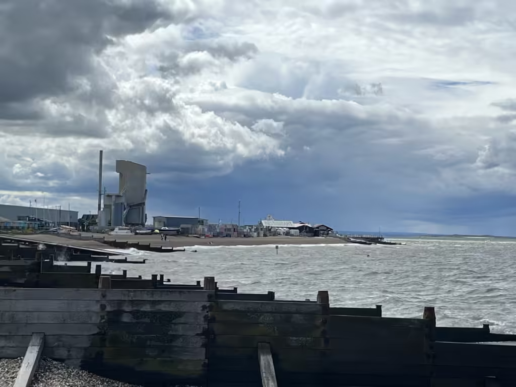
This view is from the eastern side of the harbour.
The quay is now a compound where gravel can be loaded onto coastal shipping. There is no public access.
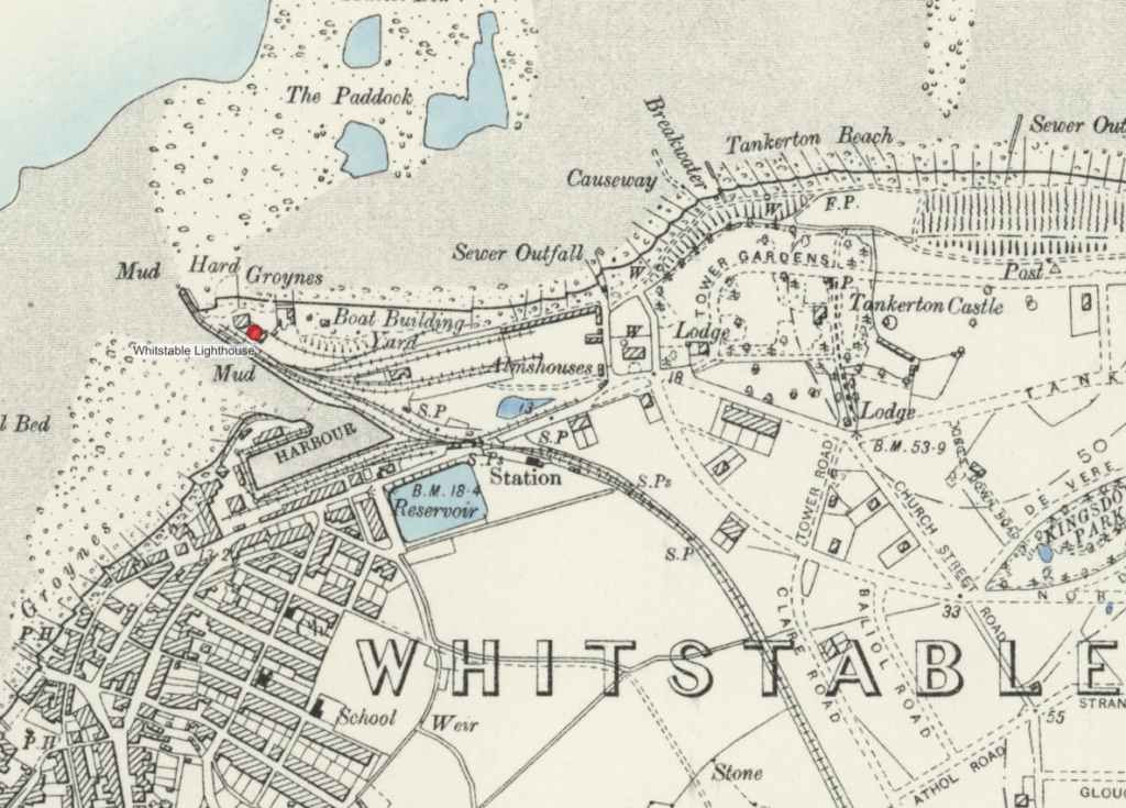
This has always been a busy industrial area. OS Maps from 1900 show how the railway once came down to the harbour.
RAF aerial photography of the 1930s shows the site too. Harper chose the most picturesque angle to sketch his subject.
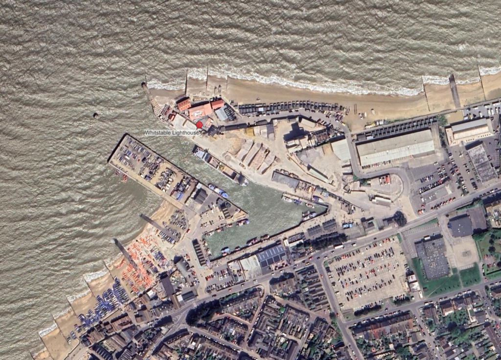
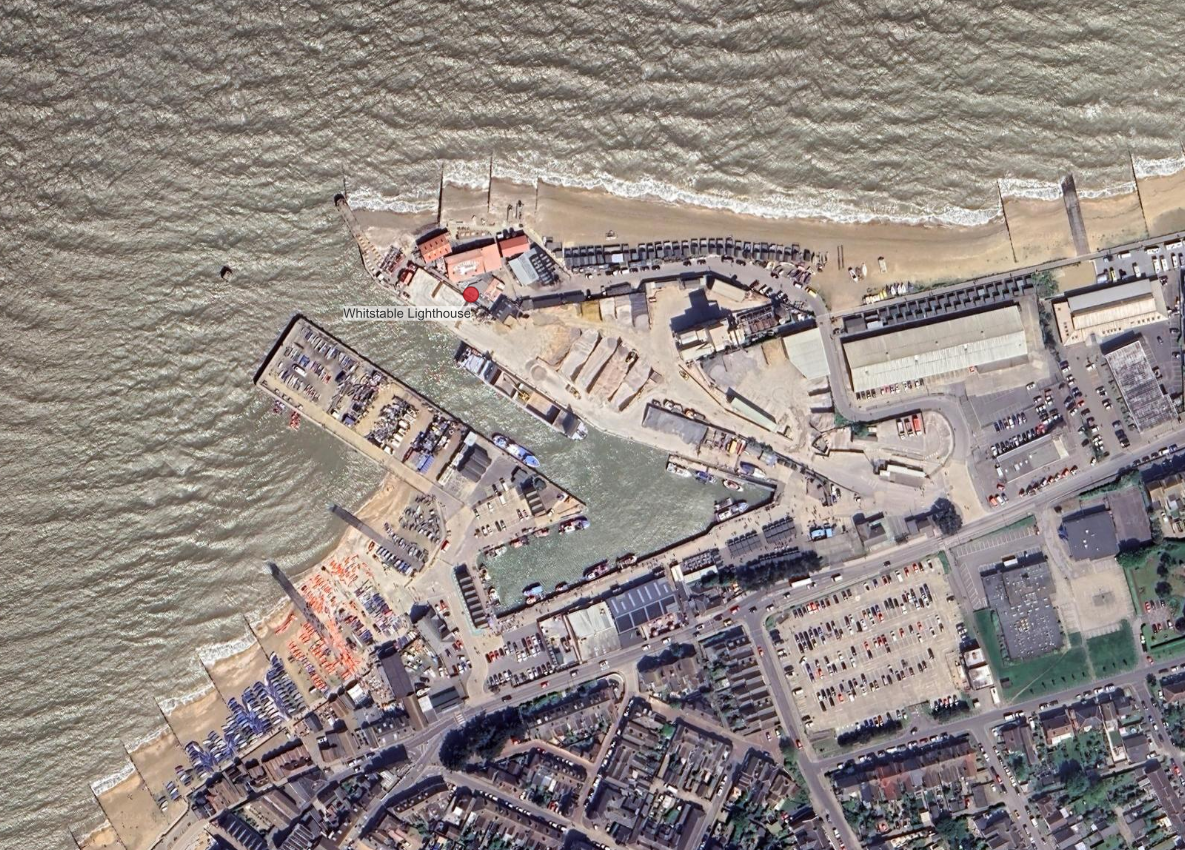
Google Satellite image shows the harbour in 2024. Comparing the 1900s OS map with the aerial photography of 1927 suggest the location of the lights house was somewhere in the backyard of the oyster restaurant that occupies the location now.