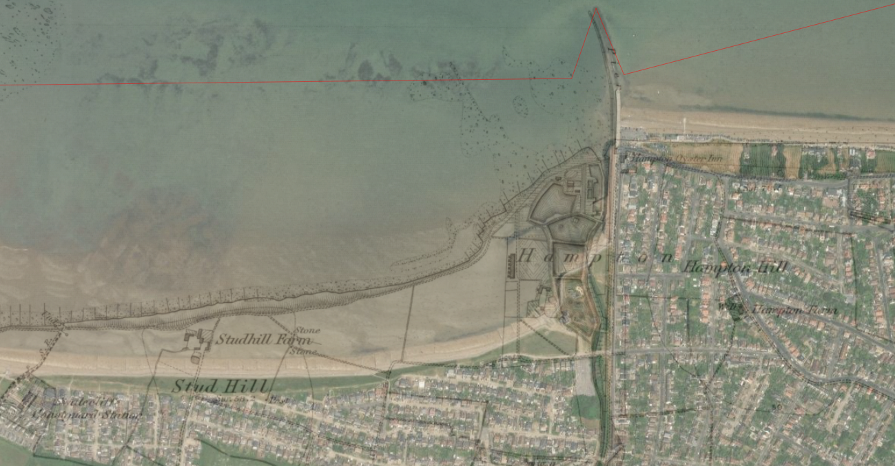
Comparison of the Ordnance Survey County Layers from 1830-1880 and current satellite imagery reveal a significant change in the coastline. The oyster processing facility and Studhill Farm locations are now within the inter-tidal zone.

A comparison of the OS 1888-1913 survey and satellite imagery, below, shows the movement of the coastline in the intervening years. Note the houses at Hernecliffe Gardens and Eddington Gardens, famous as the retirement home of Inspector Edmund Reid who investigated the Ripper murders in Victorian London. Reid was the last resident of Eddington Gardens, abandoning his home in 1916.

Go back a few more years to 1801 there is little detail to see on this part of the coastline. Towns and facilities remain undeveloped.

