Category: Historical Landscapes
-
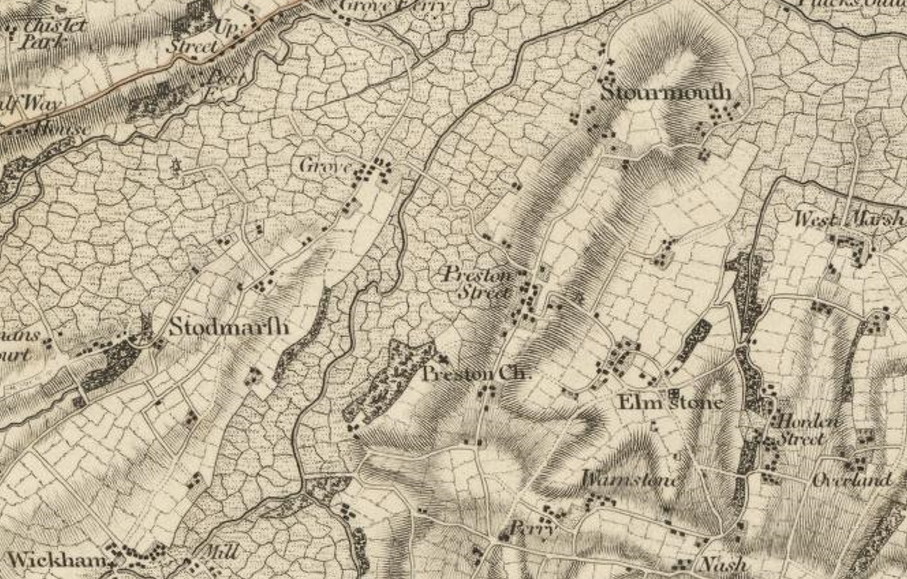
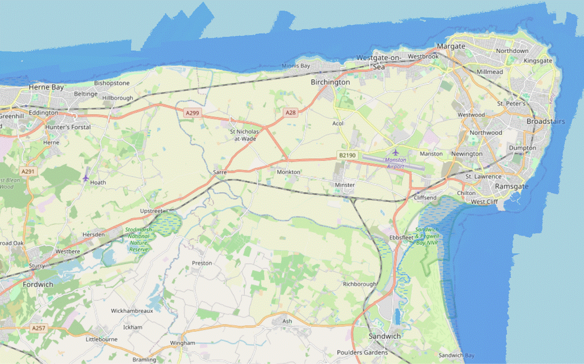
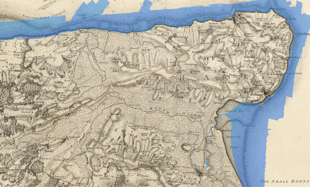
Ham’s Secret Water – Land Elevation Data and Historical Sea Levels near Eastry Kent
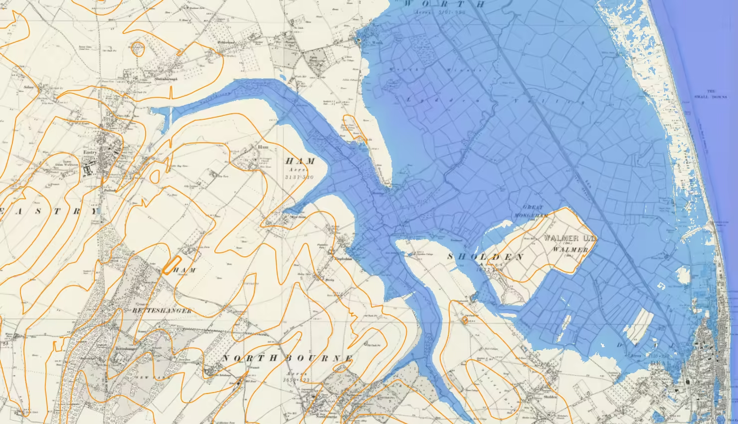
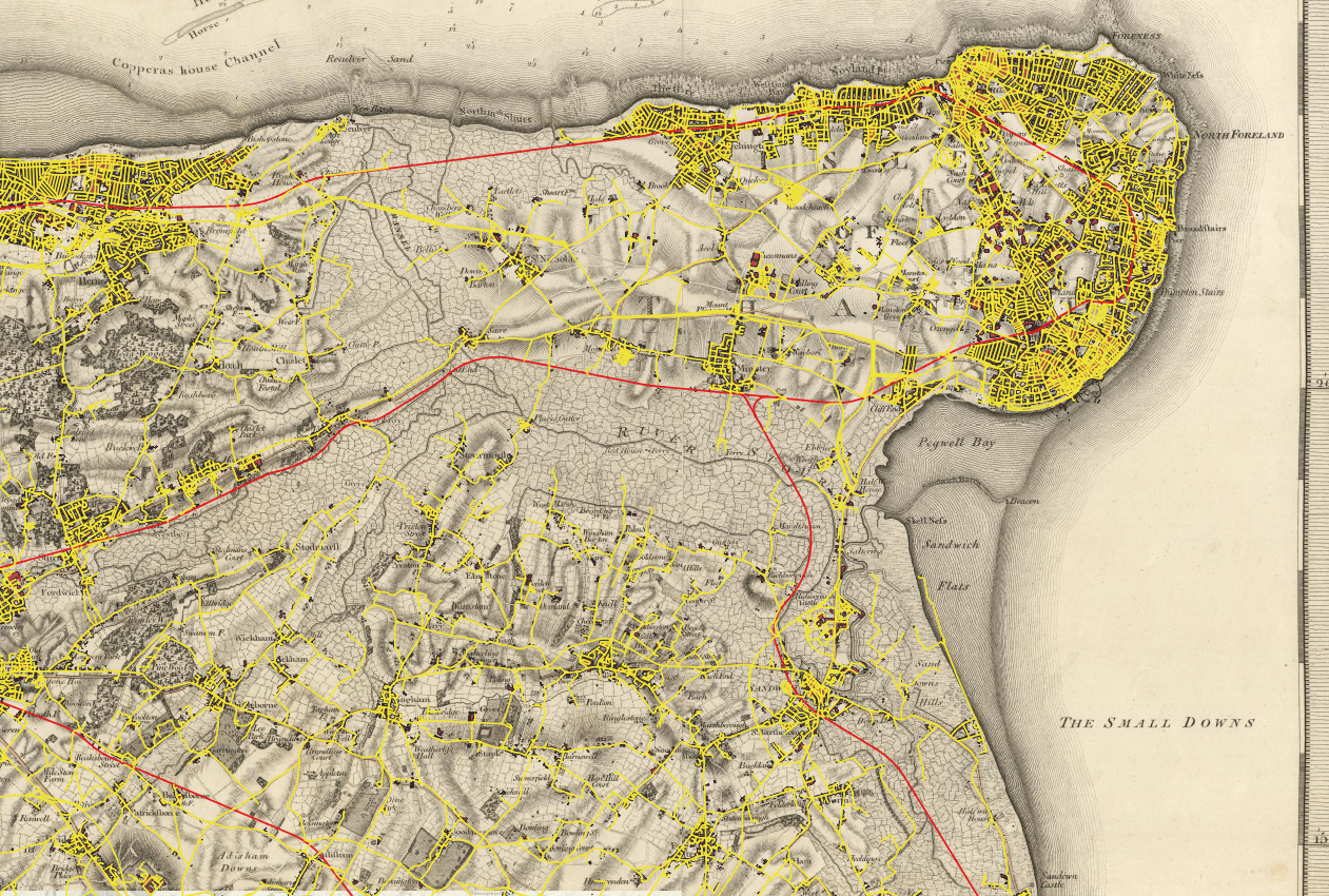
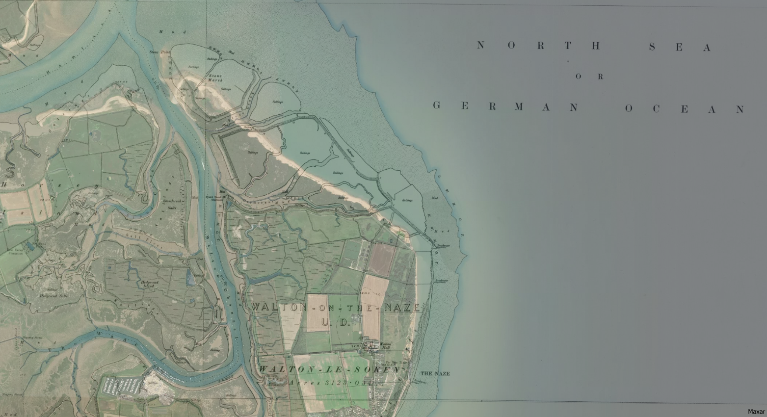
Ham’s Secret Water is an investigation into the historical coastline around Eastry and Ham in East Kent using open-source data and geographical information system, QGIS.
-
Preston in East Kent, a village on a tidal creek off the Wantsum Channel.
Preston, East Kent, is shown above on the Ordnance Surevy’s first published map of Kent in 1801, The County of Kent – map by William Mudge 1801, the first map published by the Ordnance Survey. I think that the area covered by the Wantsum Channel is essentially the marshes that are indicated so clearly on…
-
Flooding the Wantsum Channel on Open Street Map
This post presents and animation of how the Wantsum Channel would look on Open Street Map by shading different elevations of Environment Agency sourced LiDAR data. A conclusion of the post is to present a possible medieval East Kent Coastline based on an elevation of 2.75 m.
-
Flooding up the Wantsum Channel on Mudge’s Map
This post presents and animation of how the Wantsum Channel would look on Mudge’s 1801 map by shading different elevations of Environment Agency sourced LiDAR data. A conclusion of the post is to present a possible medieval East Kent Coastline based on an elevation of 2.75 m.
-
Tracing the Plenty Brook Through Herne Bay
This post presents the historical location of the Plenty Brook as it passed through the Herne Bay Memorial Park area prior to the development of the site.
-
Searching for Kent’s Wantsum Channel on Historic OS Maps
An exploration of historical maps and modern OS data layers to find the Wantsum Channel.
-
Hampton, Herne Bay, Kent. Coastline and littoral then and now.
a visual comparison of historic maps and current satellite imagery showing how the coastline at Hampton, Herne Bay Kent has changed.
-
The Naze, Walton – OS Coastline 1888-1913 and Satellite 2024
Overlay of historic OS map with current satellite imagery to show change in shoreline at Walton-on-Naze.