The Naze, Walton – OS Coastline 1888-1913 and Satellite 2024

Mapbox satellite as transparent overlay to OS 1888-1913 map. https://www.mapbox.com/maps/satellite

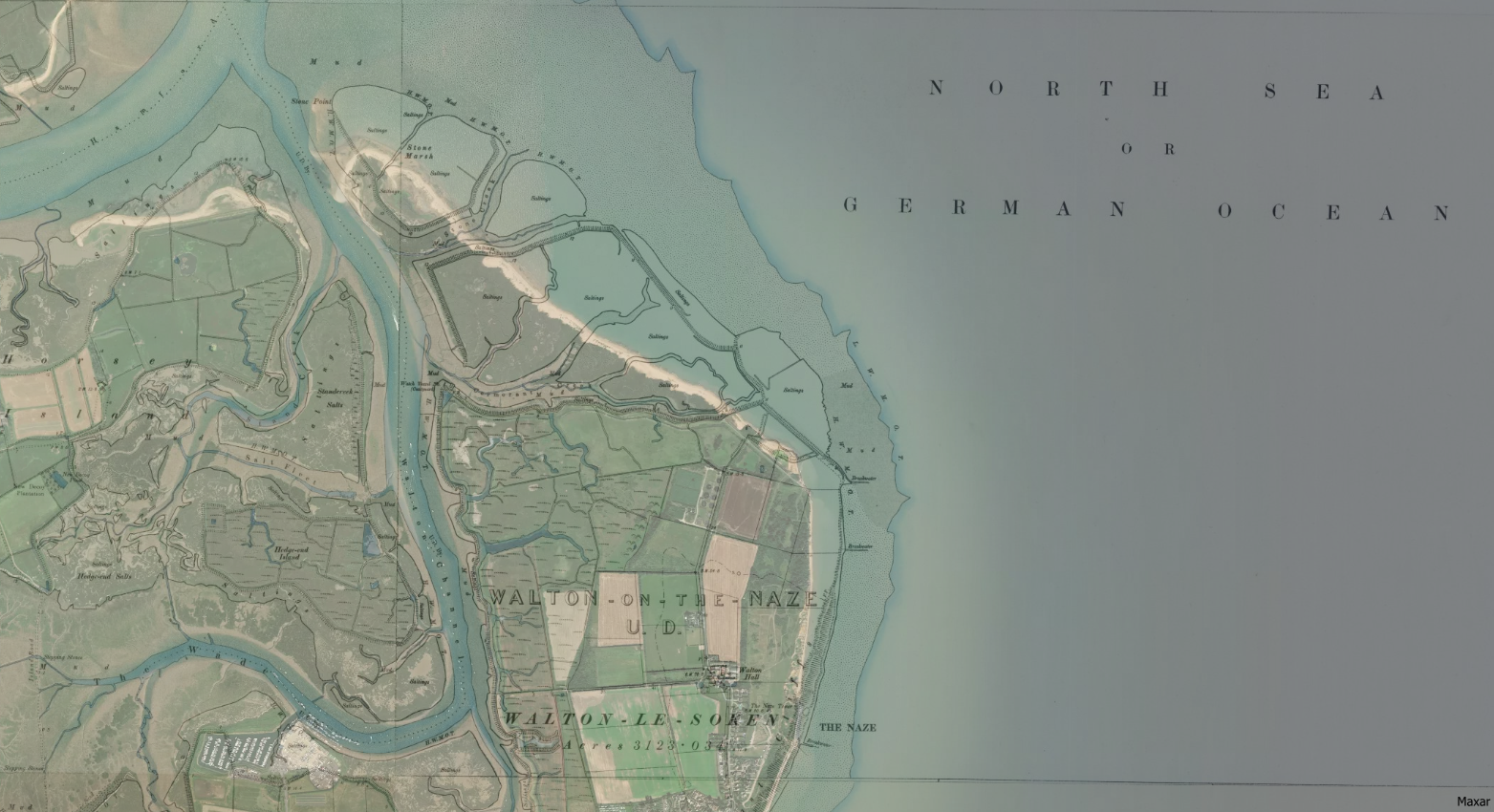
The map gives the coastline as published in the Ordnance Survey of 1888-1913. The transparent overlay of modern satellite imagery shows a clear difference in the shoreline over the last 100 years or so.

The Naze Saltings looking over to Harwich Felixstowe

The end of the Naze is a relatively isolated, beautiful, windswept place.


Comments

Leave a Reply

Your email address will not be published. Required fields are marked *