Skip to content
Jim Dickson

Jim Dickson

weather, climate, geographic information systems for Kent, UK and global

  • Home
  • About
  • Legal
    • Terms and Conditions
    • Privacy Policy
    • Copyright Notice
    • Disclaimer
  • Contact Form

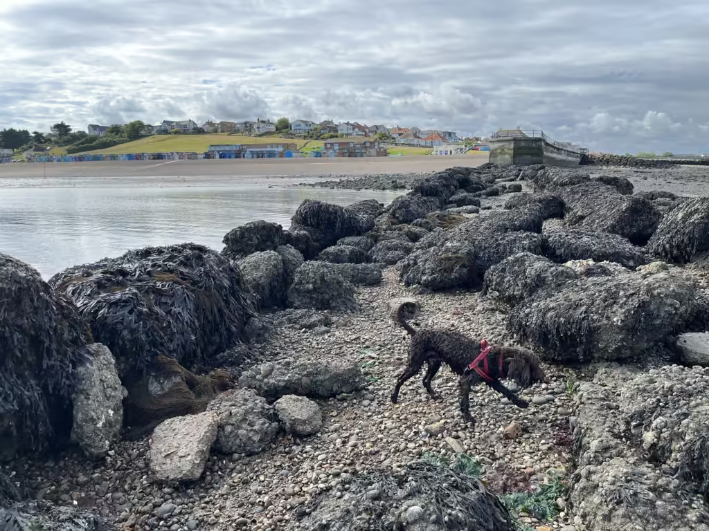
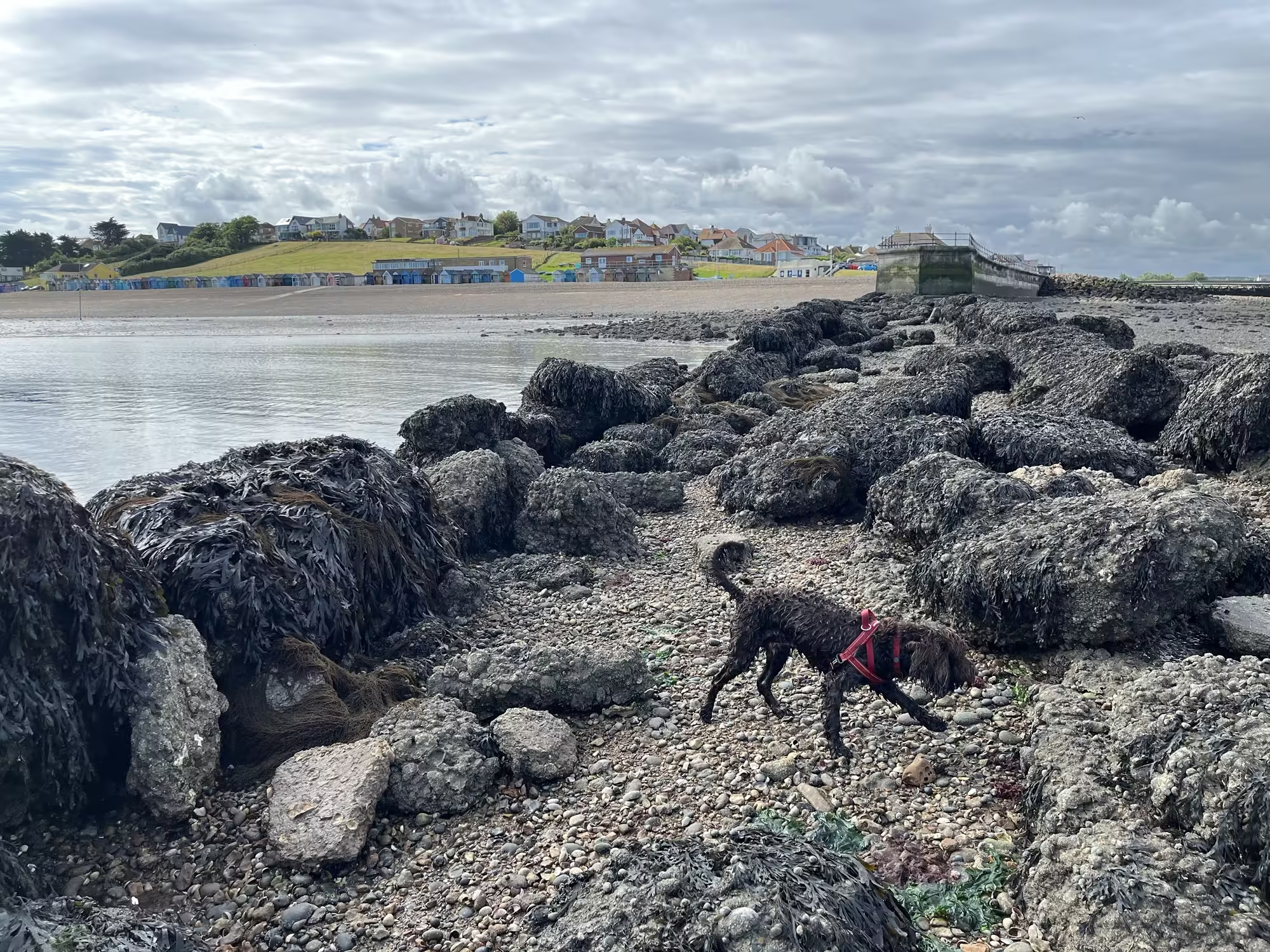
Low tide out beyond Hampton Pier

08/07/2024 by Jim Dickson

Related posts:

  1. Bank holiday flowers on the shingle between the beach huts at Hampton, Herne Bay.
  2. Speed Limit on Paddling at low tide off Herne Bay
  3. Dog and Ball in Winter Foam 21 Nov 23
  4. Between the huts and the sea wall, hollyhocks
Categories out and about Tags dog, Herne Bay, stuff on the beach, West Beach Burtie
The Old Lighthouse, East Quay, Whitstable. C G Harper drawing then and now.
Ham’s Secret Water – Land Elevation Data and Historical Sea Levels near Eastry Kent

Categories

  • C G Harper drawings – then and now
  • Climate
  • Climate Change
  • General
  • Historical Landscapes
  • out and about
  • Saxon Shore Way
  • Seasonal and Sub-seasonal Weather
  • seen from space
  • sources and resources
  • Weather

Recent Posts

  • Meteorological Teleconnections 14 Nov 25
  • Indoor Temperatures Lag Outdoors in Daily Heating Cycle
  • Sudden Stratospheric Warming Event November 2025
  • Introducing my Meteorological Teleconnections Phase Wheel
  • Long term sea level rise legacy for East Kent

Tag Cloud

clouds and weather dog ENSO GIS Herne Bay historical maps historical photographs and drawings LiDAR MJO Mudge NAO OS Open Zoomstack public transport rambling research papers route flag satellite view sea level seascape sky SSW stuff on the beach Wantsum Channel West Beach Burtie

Meta

  • Log in
  • Entries feed
  • Comments feed
  • WordPress.org
© 2025 Jim Dickson • Built with GeneratePress