Informed and inspired by a talk at the Herne Bay Historical Records Society, I came across the following sources of visual records.
Aerial Photography
Historic England – Aerial Photograph Explorer
Other Historic England Highlights
Around England by Bicycle: the C G Harper Collection
Archive of Photographs
and many more. This is an Aladdin’s Cave.
Archaeological Information
ARCHI UK – UK Archaeological Sites, LiDAR & Old Maps
much is behind a subscription wall. Note that, LiDAR is publicly available for download from the Environment Agency and can be displayed in GIS systems like QGIS. I will write a separate note on this.
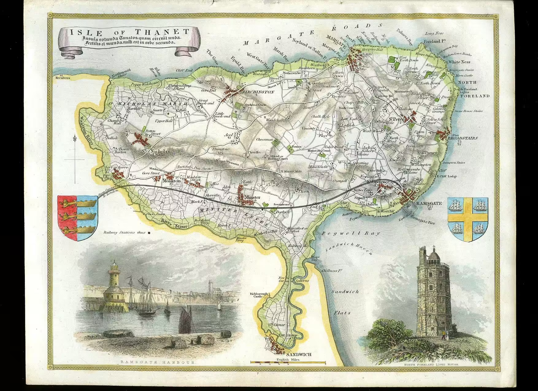
Old Maps
David Rumsey Map Collection – historical maps, Stanford Libraries
National Library of Scotland – map collection. This is a useful archive of maps covering the whole of the UK.