Visual Historical Records – sources of historical maps, aerial photography, lidar and other images.
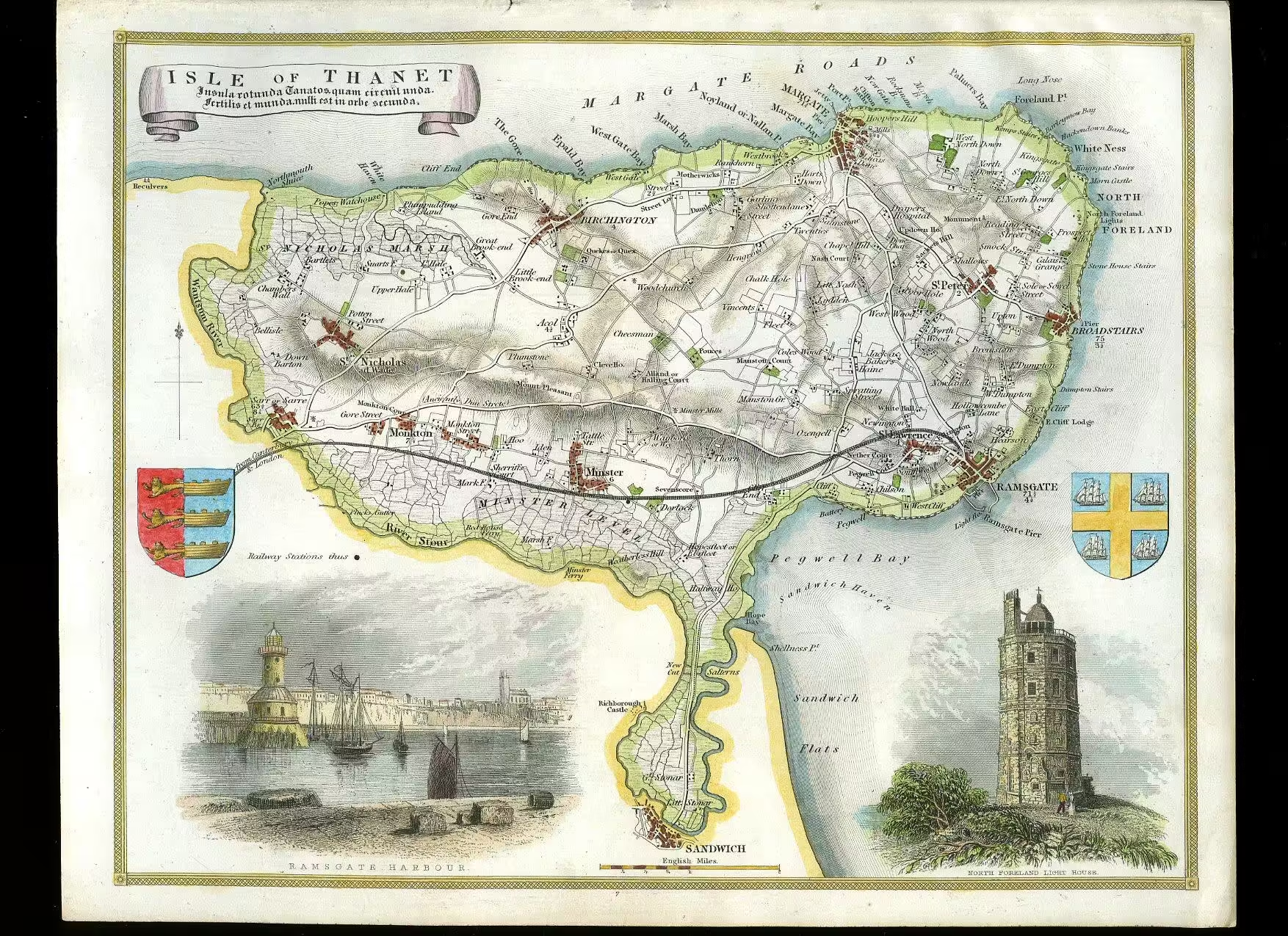
Some links and discussion about sources of old maps, aerial photography, LiDAR and other historic sketches
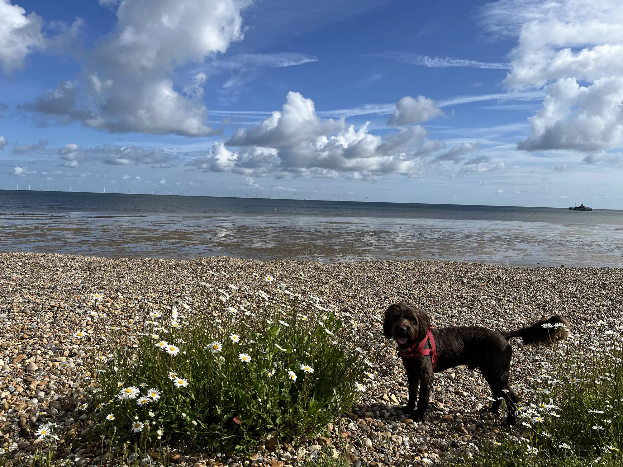
weather, climate, geographic information systems for Kent, UK and global
Some links and discussion about sources of old maps, aerial photography, LiDAR and other historic sketches
a visual comparison of historic maps and current satellite imagery showing how the coastline at Hampton, Herne Bay Kent has changed.

Satellite image of fractal mudflats in North East Essex.
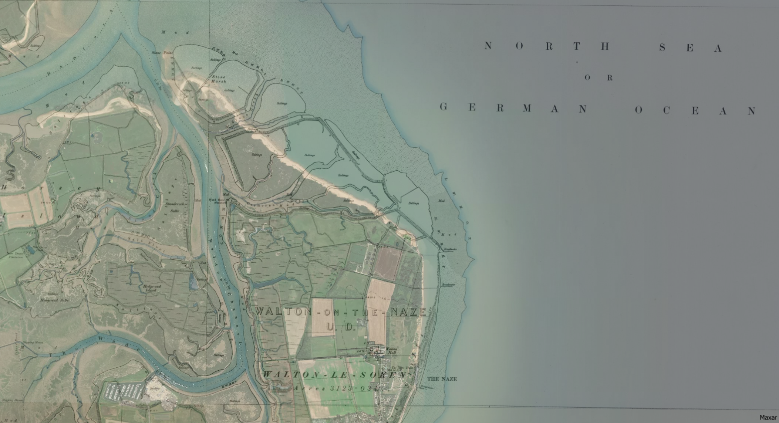
Overlay of historic OS map with current satellite imagery to show change in shoreline at Walton-on-Naze.

A description of Saxon Shore Way as it passes through the gravel works at Cliffe Fort.

Route and Points of Interest Getting There Whilst our intention was to walk the entire Saxon Shore Way, we were not particular about the order or direction of each segment. Exactly how each section of ground was traversed has been dictated by the availability of public transport. In at least one case, the segments were … Read more